Overview
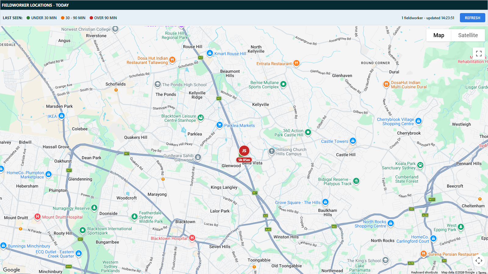
The Fieldworker Locations screen shows a map with one pin per fieldworker, placed at their last known position today. It gives schedulers an at-a-glance answer to “where is everyone right now?” without calling around.
Open it from Schedules Fieldworker Locations.
How positions are determined
A fieldworker’s position is the location of their most recent geotagged capture today - either a photo taken in the field through Runabout, or a captured signature. Desktop photo uploads are excluded, since their coordinates describe where the photo was taken, not where the fieldworker currently is.
If a fieldworker has not captured a geotagged photo or signature today, they do not appear on the map.
Reading the map
- Each pin shows the fieldworker’s initials with a chip underneath showing how long ago the capture happened (for example
<1m,12m,2h 05m). - The Last Seen legend colour-codes recency: green (under 30 minutes), amber (30 - 90 minutes), red (over 90 minutes).
- Click a pin for details: the fieldworker’s name and id, what the last capture was (photo or signature) and when, the job number and address it was captured at, and a summary of their geotagged activity today.
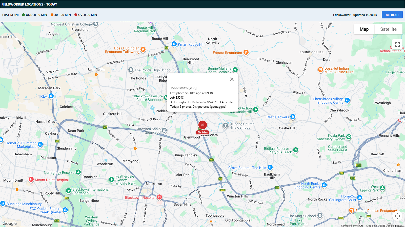
The map refreshes automatically every 60 seconds (the status text in the toolbar shows the pin count and last update time), and the elapsed-time chips tick over between refreshes. A Refresh button is also provided. Your pan and zoom position is kept between refreshes.
Access and visibility
- The screen requires the Fieldworker Daily Schedule permission (the same audience as the Fieldworker Schedules screens) or global administrator access.
- Operators with agent-restricted access only see location points from jobs belonging to agents they can access.